
Union Minister Shivraj Singh Chouhan to inaugurate NAKSHA program for urban land survey
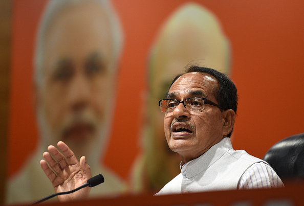
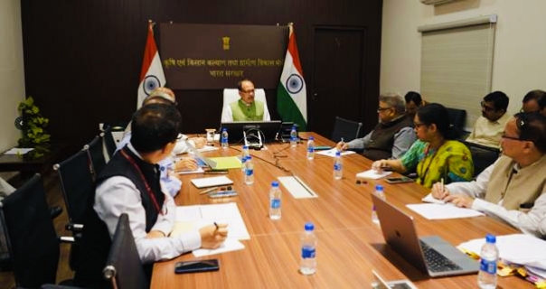
Union Minister of Rural Development and Agriculture & Farmers’ Welfare, Shivraj Singh Chouhan will inaugurate the National Geospatial Knowledge-based Land Survey of Urban Habitations (NAKSHA) pilot program on Feb 18th. The initiative will be launched across 152 Urban Local Bodies (ULBs) in 26 states and 3 Union Territories (UTs) at Raisen, Madhya Pradesh.
The NAKSHA program, spearheaded by the Department of Land Resources under the Ministry of Rural Development, aims to modernize land survey processes in urban areas. The objective is to create and update land records, ensuring accurate documentation of land ownership, improving urban planning, and reducing land-related disputes. The program will leverage IT-based systems for property record administration to enhance transparency, efficiency, and support sustainable development.
The event will also be attended by Union Minister of State for Rural Development & Communications, Dr. Chandra Sekhar Pemmasani, Madhya Pradesh Chief Minister Dr. Mohan Yadav, Revenue Minister of Madhya Pradesh Karan Singh Verma, Minister for Panchayati Raj and Rural Development Prahlad Singh Patel.
The inauguration ceremony will feature several key activities, including a drone demonstration, the release of a Standard Operating Procedure (SoP) booklet, and the launch of a video and flyer about the NAKSHA Program. Additionally, the flagging of the Watershed Development Component (WDC) Yatra and screening of a WDC video, along with the playing of the Watershed Anthem, will take place.
The Survey of India has been designated as the technical partner for the NAKSHA initiative. It will conduct aerial surveys and provide orthorectified imagery through third-party vendors to the respective state and Union Territory governments. Madhya Pradesh State Electronic Development Corporation (MPSEDC) will develop an end-to-end web-GIS platform, with storage facilities managed by the National Informatics Centre Services Inc. (NICSI).
States and Union Territory governments will carry out field surveys and ground truthing using the orthorectified imagery. This will culminate in the final publication of urban and semi-urban land records.
The NAKSHA pilot program is expected to cost ₹194 crore, with full funding provided by the central govt.